
Mission Viejo Location, Commutes & Nearby Communities: A Local Guide
When buyers think about moving to Mission Viejo, understanding how a Mission Viejo commute fits their work, errands, and everyday routine can be just as important as choosing the right house or neighborhood.
But Mission Viejo commute patterns, freeway access, major roads, nearby cities, and proximity to work or everyday destinations can have just as much impact on daily life.
Mission Viejo sits in South Orange County, with access to both Interstate 5 and State Route 241, also known as the Foothill Toll Road. The city is also within reach of Orange County beaches, John Wayne Airport, Irvine, and other major South Orange County destinations.
Within Mission Viejo, roads such as Marguerite Parkway, Alicia Parkway, La Paz Road, Oso Parkway, Crown Valley Parkway, Los Alisos Boulevard, Jeronimo Road, and Olympiad Road connect residential neighborhoods with shopping, healthcare, recreation, schools, freeways, and nearby communities.
That location gives residents several ways to move through South Orange County.
It does not mean every commute is short.
Traffic conditions, time of day, destination, school schedules, construction, and where you live within Mission Viejo can all change the experience significantly.
For buyers, the better question is not simply:
“Is Mission Viejo centrally located?”
It is:
“How does this particular Mission Viejo location work for the places I need to reach every week?”
Where Is Mission Viejo Located?
Mission Viejo sits in inland South Orange County.
Nearby communities include:
- Lake Forest
- Rancho Santa Margarita
- Laguna Hills
- Laguna Woods
- Laguna Niguel
- Aliso Viejo
- San Juan Capistrano
- Irvine
The city’s location places it between coastal communities to the west and southwest, Irvine and central Orange County to the northwest, and foothill communities to the east.
Mission Viejo is also positioned near two major regional transportation corridors:
Interstate 5, running north and south through Orange County and Southern California
and
State Route 241, providing toll-road access toward northeastern Orange County.
This regional position is one reason location can be a major advantage for buyers considering Mission Viejo.
Mission Viejo Commute Patterns Depend on Where You Live
One of the most important things buyers should understand is that there is no single Mission Viejo commute.
Mission Viejo covers a substantial suburban area.
A home near Los Alisos Boulevard may create a very different routine from one near Crown Valley Parkway.
A buyer closer to Alicia Parkway may prioritize access toward Lake Forest and I-5.
Someone living around Lake Mission Viejo or Olympiad Road may use Marguerite Parkway frequently.
A household in southern Mission Viejo may place greater value on Crown Valley Parkway, I-5, Saddleback College, Providence Mission Hospital, The Shops at Mission Viejo, or the nearby Metrolink station.
Two homes can be only a few miles apart yet produce noticeably different driving patterns.
A Mission Viejo commute can vary significantly depending on whether a home is closer to I-5, SR-241, Alicia Parkway, Crown Valley Parkway, or another major corridor.
That is why commute planning should happen at the property level, not only at the city level.
Interstate 5 Is Mission Viejo’s Main Regional Freeway Connection
Interstate 5 is the primary north-south freeway serving Mission Viejo and South Orange County.
Major nearby access points include:
- Alicia Parkway
- La Paz Road
- Oso Parkway
- Crown Valley Parkway
- Avery Parkway
These interchanges help connect Mission Viejo residents with destinations including:
- Irvine
- Laguna Hills
- Laguna Niguel
- San Juan Capistrano
- San Clemente
- Central Orange County
- Northern Orange County
- Los Angeles County
- San Diego County
For a buyer who expects to use I-5 regularly, the distance between a prospective home and the most practical freeway entrance deserves attention.
A home that looks close to I-5 on a regional map may still require several miles of local driving before reaching the freeway.
Alicia Parkway Is an Important Route for Northern Mission Viejo
Alicia Parkway is one of the city’s important east-west transportation corridors.
It passes through Mission Viejo and provides access toward neighboring communities while also connecting with I-5.
Residents in northern and northeastern Mission Viejo may use Alicia Parkway for access to:
- I-5
- Lake Forest
- Local shopping
- Neighborhood services
- Residential areas
- Other major Mission Viejo roads
If you are comparing homes near Alicia Parkway, it is worth driving your likely morning and afternoon routes before making a decision.
Proximity to a major road can improve convenience, but buyers may also want to evaluate traffic, road noise, and the specific position of the home within the neighborhood.
La Paz Road Connects Central Mission Viejo With I-5
La Paz Road is another major Mission Viejo corridor with direct access toward I-5.
It intersects with Marguerite Parkway near the Civic Center area and serves established residential neighborhoods, shopping, recreation, and community destinations.
For buyers living in central Mission Viejo, La Paz may become one of the most frequently used routes for reaching the freeway.
But location within the neighborhood still matters.
Living near La Paz can make regional access convenient.
Living directly beside a heavily traveled section may create a different residential experience than being several streets inside the same neighborhood.
Oso Parkway Is Important for Southern and Eastern Connections
Oso Parkway crosses through the southern part of Mission Viejo and connects toward I-5.
It also provides access to residential areas, recreation, nearby communities, and major north-south streets such as Marguerite Parkway.
For some households, Oso Parkway becomes the natural route between home and:
- I-5
- Shopping
- Schools
- Recreation
- Nearby communities
Again, buyers should test the actual route rather than relying entirely on mileage.
A commute that appears simple on a map may behave very differently during a busy weekday period.
Crown Valley Parkway Provides Another Major South County Connection
Crown Valley Parkway is especially important in southern Mission Viejo.
It connects the city with I-5 and continues toward Laguna Niguel and the coastal side of South Orange County.
This corridor is also relevant for residents using:
- Providence Mission Hospital
- The Shops at Mission Viejo
- Nearby medical services
- Laguna Niguel
- The Laguna Niguel/Mission Viejo Metrolink station
For a household that regularly travels toward Laguna Niguel, Dana Point, or the coast, southern Mission Viejo may feel particularly practical.
State Route 241 Gives Mission Viejo Another Regional Option
Mission Viejo is also near State Route 241, the Foothill Toll Road.
Connections toward SR-241 can be reached through corridors including Santa Margarita Parkway and Los Alisos Boulevard.
This can be particularly relevant for residents traveling toward:
- Rancho Santa Margarita
- Foothill Ranch
- Eastern Orange County
- Northern Orange County destinations reached through the toll-road network
Because SR-241 is a toll facility, buyers who expect to use it frequently should factor toll costs into their commuting decision.
For some households, the route can provide useful flexibility.
For others, I-5 may remain the primary regional connection.
Marguerite Parkway Is One of Mission Viejo’s Most Important Local Roads
While I-5 and SR-241 handle regional travel, Marguerite Parkway is one of the roads that shapes daily life inside Mission Viejo.
It connects or provides access to many important local destinations, including areas around:
- Lake Mission Viejo
- The Civic Center
- Oso Creek
- Shopping centers
- Saddleback College
- Providence Mission Hospital
- The Shops at Mission Viejo
- Recreation facilities
- Residential neighborhoods
For many residents, Marguerite Parkway becomes part of ordinary daily movement even when they are not leaving Mission Viejo.
That makes its location especially useful when comparing neighborhoods.
A home does not need to sit directly on a major road to benefit from being reasonably connected to it.
Los Alisos Boulevard Connects Mission Viejo Toward Lake Forest and SR-241
Los Alisos Boulevard serves northern Mission Viejo and provides an important connection toward Lake Forest and the SR-241 corridor.
For buyers who work or spend substantial time in:
- Lake Forest
- Foothill Ranch
- Rancho Santa Margarita
- Irvine-area destinations
This part of Mission Viejo may deserve closer consideration.
The key is matching the neighborhood with the direction you travel most frequently.
Jeronimo Road Provides Another Connection Toward Lake Forest and Irvine
Jeronimo Road runs through Mission Viejo and continues toward Lake Forest.
It serves residential neighborhoods and connects with Alicia Parkway, Los Alisos Boulevard, Marguerite Parkway, and other important roads.
For buyers who frequently travel north toward Lake Forest or Irvine, access to Jeronimo may be useful even if the home is not particularly close to I-5.
This is another example of why local-road access can matter almost as much as freeway proximity.
Mission Viejo Has Access to Metrolink
Buyers who want an alternative to driving should know about the Laguna Niguel/Mission Viejo Metrolink Station.
One important detail:
Despite the name, the station itself is located at 28200 Forbes Road in Laguna Niguel, just outside Mission Viejo.
The station serves regional Metrolink routes, giving South Orange County residents another option for certain trips.
For the right commuter, rail access can change how a Mission Viejo location works.
Do Not Choose a Home Based on Metrolink Without Testing the Schedule
Having a station nearby does not automatically mean rail is practical for every commute.
Before relying on Metrolink, buyers should check:
- Current departure times
- Return schedules
- Which line serves the destination
- Frequency
- Weekend versus weekday service
- Connections after leaving the train
- Parking or shuttle options
- Current service advisories
Schedules can change, and South Orange County rail service can sometimes be affected by maintenance or conditions along the coastal rail corridor.
The practical question is:
“Does the current train schedule work with my actual workday?”
Not simply:
“Is there a train station nearby?”
The MV Shuttle Adds Another Transportation Option
Mission Viejo also operates the MV Shuttle, a local transportation service connecting key destinations within and around the city.
Depending on the current route and schedule, connections may include destinations such as:
- Lake Mission Viejo
- The Shops at Mission Viejo
- Providence Mission Hospital
- Saddleback College
- Community facilities
- The Laguna Niguel/Mission Viejo Metrolink station
For certain residents, this can make the train or local destinations more practical without driving every portion of the trip.
Current schedules should always be checked before planning around the service.
OC Bus Also Serves Mission Viejo
Mission Viejo is connected to the broader OC Bus network.
Routes serving or connecting through the area can provide transportation toward nearby communities and regional transportation hubs.
Depending on the route, riders may be able to connect with destinations in areas such as:
- Laguna Niguel
- Irvine
- Lake Forest
- Costa Mesa
- Rancho Santa Margarita
- Other South Orange County communities
Transit routes and schedules can change, so residents who expect to rely on bus service should check the current OCTA schedule for the specific address and destination.
Is Mission Viejo a Car-Dependent City?
For most households, a car is still an important part of everyday life.
Mission Viejo was developed as a suburban master-planned community.
Shopping, schools, recreation, healthcare, residential neighborhoods, and commercial centers are spread across the city rather than concentrated in one dense downtown.
Public transportation exists.
Walking and cycling options exist.
But many common trips still involve driving.
That may work well for buyers who value suburban space and road access.
It may feel less appealing to someone whose highest priority is living without a car.
How Traffic Can Affect a Mission Viejo Commute
No discussion of a Mission Viejo commute is complete without talking about traffic.
South Orange County roads and freeways can become congested, particularly during peak travel periods.
That means buyers should be cautious with statements such as:
“It’s only 20 minutes away.”
That may be true at one time of day and completely unrealistic at another.
A better home-buying approach is to test:
- Weekday morning travel
- Weekday evening travel
- School traffic
- Freeway access
- Major intersections
- Routes to work
- Routes to childcare or school
- Regular shopping trips
Buyers comparing a Mission Viejo commute should test the route from the actual property during the hours they expect to travel.
Do this from the actual home, not simply from the center of Mission Viejo.
Living Near a Freeway Entrance Can Be Convenient, But There Are Tradeoffs
For someone with a longer work commute, being closer to I-5 may be a significant advantage.
But buyers should balance access with residential considerations.
A home closer to a freeway or major arterial might also experience differences in:
- Road noise
- Traffic
- Views
- Air quality
- Street activity
- Neighborhood feel
A property farther inside a residential tract may feel quieter but add local driving before reaching the freeway.
Neither is automatically better.
It depends on what you value most.
Mission Viejo to Irvine
Irvine is one of the most important nearby employment and business destinations for many South Orange County residents.
Mission Viejo connects to Irvine through several routes depending on the starting point, including I-5 and local corridors through Lake Forest.
Residents may also connect with the Irvine Transportation Center through regional transit options.
If your job is in Irvine, test the commute from each home you seriously consider.
“Northern Mission Viejo” and “southern Mission Viejo” can produce noticeably different trips.
Mission Viejo to Lake Forest
Lake Forest sits immediately north of Mission Viejo.
The two cities are connected through roads including:
- Alicia Parkway
- Jeronimo Road
- Los Alisos Boulevard
- El Toro Road-area connections
For residents of northern Mission Viejo, Lake Forest can feel like part of the normal everyday activity area.
Shopping, workplaces, restaurants, and services may cross city boundaries without residents paying much attention to the municipal line.
If much of your daily routine is in Lake Forest, northern Mission Viejo may be particularly practical.
Mission Viejo to Rancho Santa Margarita
Rancho Santa Margarita sits east of the Mission Viejo and Lake Forest area.
Connections include routes toward Santa Margarita Parkway and SR-241.
For buyers who work in Rancho Santa Margarita or regularly use foothill communities, eastern and northeastern Mission Viejo locations may make sense.
The two cities offer different housing and lifestyle experiences despite their proximity.
If you’re comparing them, read:
Mission Viejo to Laguna Hills
Laguna Hills sits along the I-5 corridor near Mission Viejo.
For many residents, crossing between Mission Viejo and Laguna Hills is simply part of normal South Orange County travel.
Healthcare, shopping, services, and freeway routes overlap throughout the area.
This is another reason buyers should evaluate their daily activity area beyond the city boundary.
The closest grocery store, medical office, restaurant, or workplace may technically be in another city without feeling far away.
Mission Viejo to Laguna Niguel
Laguna Niguel sits southwest of Mission Viejo and becomes particularly relevant for residents in southern Mission Viejo.
Crown Valley Parkway is an important connection between the two areas.
The Laguna Niguel/Mission Viejo Metrolink Station is also physically located in Laguna Niguel.
For residents who regularly travel toward Laguna Niguel or coastal South Orange County, a southern Mission Viejo location may be especially convenient.
Mission Viejo to Aliso Viejo
Aliso Viejo is another nearby South Orange County community.
Travel between the cities commonly involves major local roads and routes through surrounding communities.
Buyers who work in Aliso Viejo should test the actual commute because freeway access is not always the only practical option.
A local-road route may make more sense depending on where the workplace and home are located.
Mission Viejo to San Juan Capistrano
San Juan Capistrano lies south of Mission Viejo along the broader I-5 corridor.
Residents can reach it through I-5 and other South County roads.
For households that regularly travel toward San Juan Capistrano, Dana Point, or San Clemente, southern Mission Viejo may offer easier regional positioning than neighborhoods farther north.
Again, this does not guarantee a specific commute time.
It simply changes the geography of the trip.
How Far Is Mission Viejo From the Beach?
Mission Viejo is inland.
The City describes Mission Viejo as approximately 12 miles from the beach.
But buyers should be careful with that number.
Twelve miles does not mean every Mission Viejo home is twelve miles from every beach.
Actual travel depends on:
- Which neighborhood you start from
- Which beach you choose
- Road conditions
- Traffic
- Day of the week
- Time of day
For someone who visits the coast occasionally, Mission Viejo’s inland location may be completely reasonable.
For someone whose ideal lifestyle revolves around walking to the ocean every morning, it is a very different experience from living in a beach community.
We’ll explore that tradeoff more deeply later in this Mission Viejo series.
John Wayne Airport Is Relatively Accessible From Mission Viejo
For frequent travelers, airport access can also be part of the location decision.
John Wayne Airport is roughly 16 miles north of Mission Viejo, although the exact distance depends on where in the city you start.
Actual travel time can vary significantly with traffic.
Still, having Orange County’s primary commercial airport within the broader regional area can be useful for buyers who travel regularly for work or leisure.
Mission Viejo Sits Between Los Angeles and San Diego
One of Mission Viejo’s larger regional advantages is its position within Southern California.
The city sits between the Los Angeles and San Diego regions, giving residents access in both directions.
That does not mean commuting daily to downtown Los Angeles or San Diego is necessarily easy.
Those are substantial regional trips, and traffic can be significant.
But Mission Viejo’s location can be useful for:
- Work
- Airports
- Entertainment
- Sports
- Family visits
- Weekend travel
- Major Southern California destinations
This is different from saying Mission Viejo is “close” to everything.
It is more accurate to say that the city occupies a useful position within the broader Southern California transportation network.
Which Part of Mission Viejo Is Best for Your Commute?
There is no single answer because the ideal Mission Viejo commute depends on where you need to go, when you travel, and which routes are most convenient from your neighborhood.
It depends on where you need to go.
If You Travel Toward Irvine Frequently
You may value neighborhoods with convenient access toward:
- I-5
- Alicia Parkway
- Jeronimo Road
- Lake Forest connections
If You Travel Toward Laguna Niguel or the Coast
You may prefer stronger access to:
- Crown Valley Parkway
- I-5
- Southern Mission Viejo
If You Use SR-241 Frequently
Look carefully at access toward:
- Los Alisos Boulevard
- Santa Margarita Parkway
- Eastern or northern Mission Viejo
If You Use Metrolink
Consider:
- Distance to the Laguna Niguel/Mission Viejo station
- MV Shuttle access
- Current train schedules
- Parking
- Your destination after leaving the train
If You Mostly Work From Home
Your priorities may shift away from freeway access toward:
- Parks
- Lake Mission Viejo
- Shopping
- Walkability
- Home-office space
- Neighborhood setting
- Road noise
The “best” location changes with the buyer.
Your Weekend Routes Matter Too
Commute discussions often focus entirely on work.
But buyers should also think about where they go on weekends.
Your normal destinations might include:
- Lake Mission Viejo
- Oso Creek Trail
- The Shops at Mission Viejo
- Plaza del Lago
- Youth sports
- Golf
- Restaurants
- The beach
- Irvine
- Rancho Santa Margarita
- Laguna Niguel
- San Juan Capistrano
A home that makes the weekday commute slightly easier but puts your entire weekend lifestyle farther away may not necessarily be the better choice.
Location should reflect the whole week.
Mission Viejo Location Can Affect Shopping Convenience
Different areas of Mission Viejo naturally connect with different shopping corridors.
Residents in southern Mission Viejo may frequently use The Shops at Mission Viejo.
Those near Lake Mission Viejo may use Plaza del Lago and Marguerite Parkway.
Northern and eastern residents may rely more heavily on shopping around Alicia Parkway, Los Alisos Boulevard, or neighboring Lake Forest.
For a deeper look, read:
Shopping, Dining & Everyday Convenience in Mission Viejo: A Local Guide
Mission Viejo Location Can Affect Recreation Too
The same principle applies to outdoor recreation.
One neighborhood may put you close to Oso Creek Trail.
Another may be more convenient to:
- Lake Mission Viejo
- Arroyo Trabuco
- Wilderness Glen
- Oso Viejo Community Park
- Local sports facilities
- Neighborhood parks
For more, read:
Parks, Trails & Outdoor Recreation in Mission Viejo: A Local Guide
Neighborhood Choice and Commute Should Be Considered Together
This is why choosing among Mission Viejo neighborhoods is not only a housing question.
The home, neighborhood, and transportation pattern work together.
A buyer might love a property near Lake Mission Viejo but discover that another part of the city works much better for their daily commute.
Another buyer may happily accept a slightly longer drive because lake access or a particular community is far more important to them.
If you are still comparing areas, read:
Mission Viejo Neighborhoods & Master-Planned Living: What Buyers Should Know
A Practical Way to Test a Mission Viejo Commute Before Buying
When you find a home you seriously like, test the location as though you already live there.
Drive from the property to:
- Your workplace
- School or childcare
- Grocery store
- Gym
- Medical appointments
- Freeway entrance
- Most-used shopping area
- Weekend destinations
Do it at realistic times.
A Sunday afternoon drive tells you very little about a Monday morning commute.
Also test alternative routes.
Mission Viejo’s network of major roads can sometimes give residents more than one way to reach a destination.
Questions to Ask About Location Before Buying in Mission Viejo
Before choosing a home, consider:
- Which freeway entrance would I normally use?
- How far is that entrance from the actual property?
- Do I expect to use I-5 or SR-241 more often?
- Which major arterial would become part of my daily routine?
- What does my commute look like during actual work hours?
- Would Metrolink realistically work for my schedule?
- Could I use the MV Shuttle or OC Bus?
- How often do I travel toward Irvine?
- How often do I travel toward the coast?
- Would I rather prioritize freeway access or a quieter interior neighborhood?
- How close are my normal shopping and recreation destinations?
- Does the neighborhood make weekend activities convenient?
- Would another part of Mission Viejo reduce my weekly driving?
- Am I comfortable with toll-road costs if I expect to use SR-241?
- Have I driven the route during the times I would actually travel?
Those questions provide much more useful information than simply checking the mileage between two addresses.
Frequently Asked Questions About Mission Viejo Location and Commuting
Is Mission Viejo Close to I-5?
Yes.
Mission Viejo has convenient access to Interstate 5 through major roads including Alicia Parkway, La Paz Road, Oso Parkway, Crown Valley Parkway, and Avery Parkway.
The actual distance to an interchange depends on where in Mission Viejo you live.
Is Mission Viejo Near the 241 Toll Road?
Yes.
Mission Viejo is near SR-241, with connections toward the toll road through corridors including Santa Margarita Parkway and Los Alisos Boulevard.
Does Mission Viejo Have a Train Station?
The Laguna Niguel/Mission Viejo Metrolink Station serves the area, but the station itself is located in Laguna Niguel.
It provides regional rail access for South Orange County residents.
Does Mission Viejo Have Public Transportation?
Yes.
Options include the MV Shuttle, OC Bus, and nearby Metrolink service.
For most households, however, driving remains an important part of everyday transportation.
Is the MV Shuttle Free?
Mission Viejo has operated the MV Shuttle as a local circulator service.
Because routes, schedules, and program details can change, riders should confirm current service before planning around it.
How Far Is Mission Viejo From the Beach?
Mission Viejo is approximately 12 miles from the beach based on the City’s general location information.
Actual driving distance and travel time vary depending on the neighborhood, beach destination, and traffic.
How Far Is Mission Viejo From John Wayne Airport?
John Wayne Airport is approximately 16 miles north of Mission Viejo.
Actual driving distance and travel time depend on the starting neighborhood and traffic.
Is Mission Viejo Good for Someone Who Works in Irvine?
It can be, depending on the exact workplace, Mission Viejo neighborhood, schedule, and tolerance for traffic.
Residents can travel toward Irvine through I-5 and local corridors through Lake Forest.
The best approach is to test the commute from the specific property during your normal work hours.
Can You Live in Mission Viejo Without a Car?
Public transit, shuttle service, walking routes, cycling routes, and nearby Metrolink access provide alternatives.
However, Mission Viejo is a suburban master-planned city with destinations spread across a relatively large area.
For many households, having a car remains significantly more convenient for everyday errands and travel.
Is Mission Viejo’s Location a Major Reason to Live Here?
For many buyers, yes.
Mission Viejo provides access to:
- Interstate 5
- State Route 241
- Irvine
- Lake Forest
- Rancho Santa Margarita
- Laguna Hills
- Laguna Niguel
- South Orange County beaches
- Metrolink
- OC Bus
- John Wayne Airport
- Major South County shopping and healthcare
But location should not be reduced to a list of nearby destinations.
The real value depends on where you live within Mission Viejo and where you personally need to go.
A buyer who works in Irvine may prioritize one part of the city.
A buyer who spends weekends at the coast may choose another.
Someone working remotely may care more about Lake Mission Viejo, parks, shopping, or neighborhood character than freeway proximity.
Ultimately, the best Mission Viejo commute is the one that fits your work schedule, weekend routines, and tolerance for traffic.
The goal is not simply to find a home that looks centrally located on a map.
It is to find a Mission Viejo neighborhood that makes the places you use most feel reasonably accessible.
Explore More of Mission Viejo
Start with our complete guide:
Then explore:
What It’s Really Like Living Near Lake Mission Viejo
Parks, Trails & Outdoor Recreation in Mission Viejo: A Local Guide
Shopping, Dining & Everyday Convenience in Mission Viejo: A Local Guide
Mission Viejo Neighborhoods & Master-Planned Living: What Buyers Should Know
Recent Updates
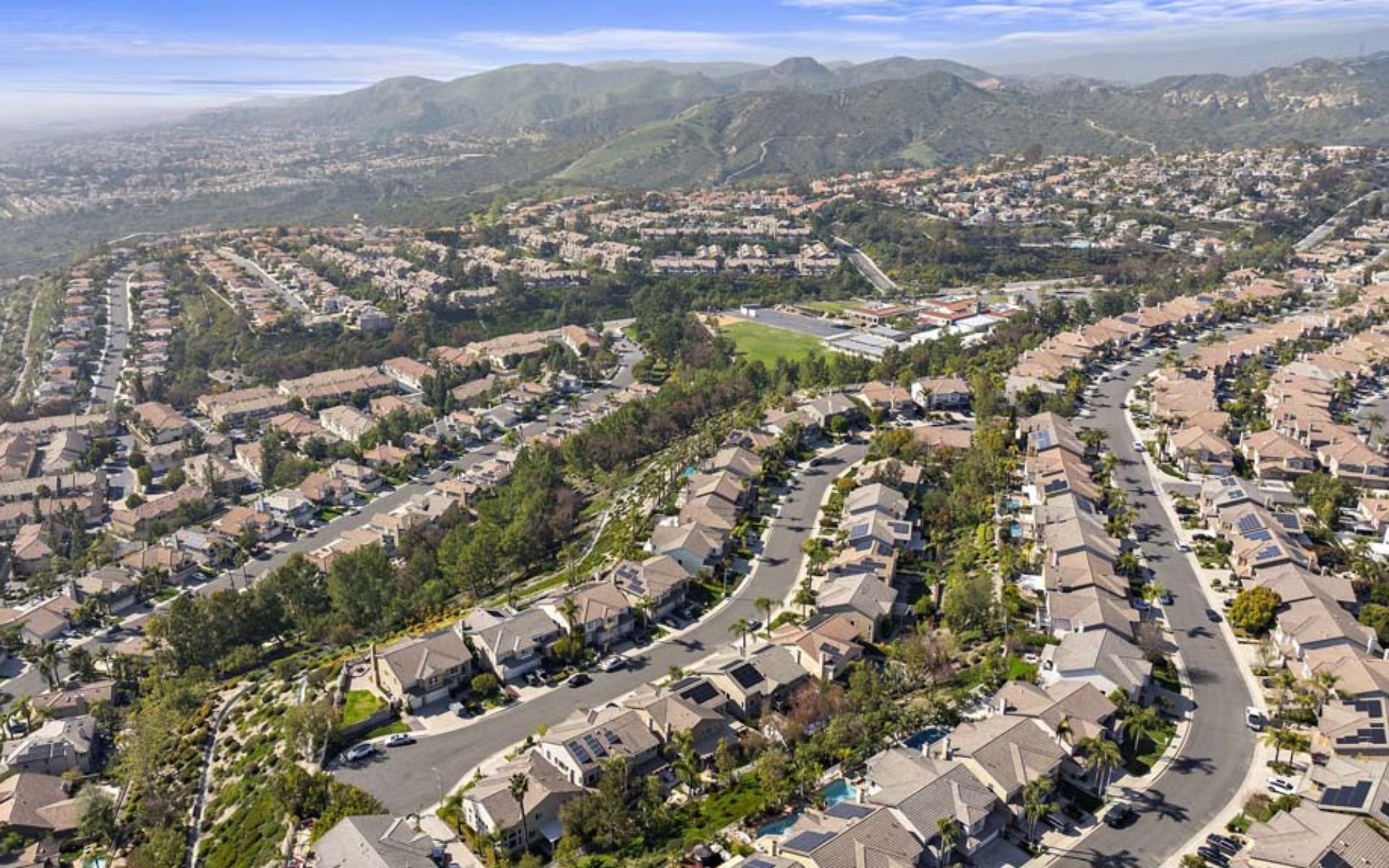
Portola Hills Neighborhoods and Homes: What Buyers Should Know
If you’re comparing Portola Hills neighborhoods and homes, one of the first things to understand is that Portola Hills is not a single subdivision with one type of property. Located on the foothill side of Lake Forest, California, Portola Hills includes established residential neighborhoods along with newer development around Portola Center. Buyers can find detached […]
5 Reasons You’ll Love Living in Portola Hills and 3 Reasons It Might Not Be for You
If you’re considering living in Portola Hills, CA, you’re probably looking for more than a list of homes for sale. You want to know what everyday life actually feels like. Portola Hills sits in the eastern foothill area of Lake Forest in South Orange County, where residential neighborhoods meet hills, open space, trails, and nearby […]
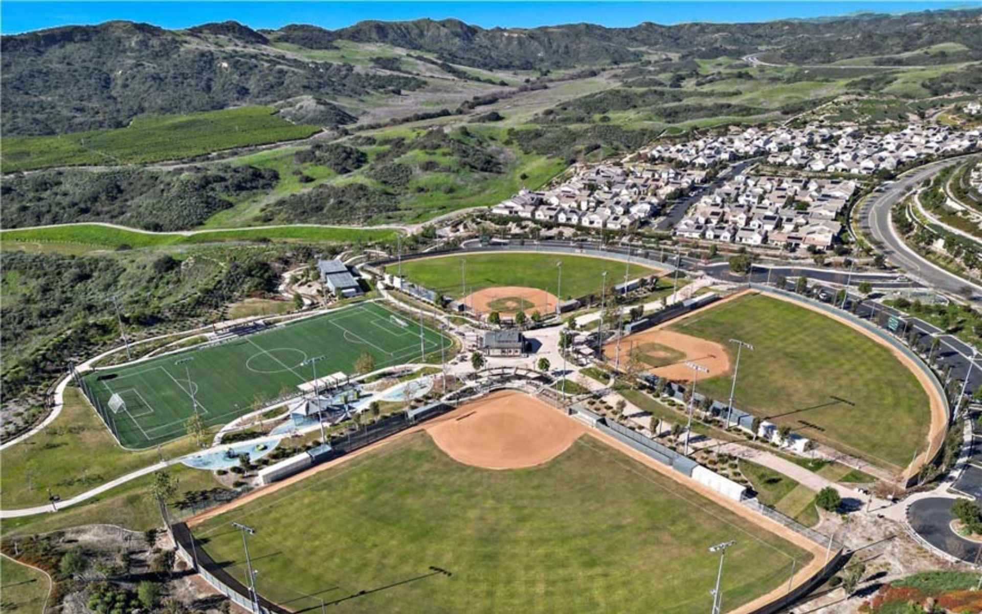
Ladera Ranch Inland Location: Beach and Freeway Access for Home Buyers
If you’re considering buying a home in Ladera Ranch, the Ladera Ranch inland location is an important lifestyle factor to understand before deciding whether the community fits the way you want to live. Ladera Ranch sits in South Orange County near Mission Viejo, Rancho Santa Margarita, Rancho Mission Viejo, and San Juan Capistrano. It offers […]
Join Our Mailing List
Are you interested in buying a home? Look no further than working with real estate experts.
Quick Links
Brokerage Info
25950 Acero., #100
Mission Viejo, CA 92691
DRE 01200533


All information is deemed reliable but not guaranteed and should be independently reviewed and verified.
Powered by Sprout Interactive

