
Dana Point Location & Commute: I-5, PCH, Irvine, Laguna Beach & San Diego Access
Dana Point may feel like a relaxed coastal community, but its location places residents within reach of several major South Orange County employment centers, neighboring beach cities, regional transit options, and the Interstate 5 corridor connecting Orange County with San Diego and Los Angeles.
That combination is one of the reasons Dana Point commute patterns can look very different depending on where you work and which neighborhood you choose.
Someone working in Irvine may prioritize quick access to I-5.
A resident who spends more time in Laguna Beach may care more about Pacific Coast Highway.
Someone who travels frequently to San Diego may prefer the southern side of Dana Point or easier freeway access.
A remote worker may care less about rush-hour travel and more about being able to reach John Wayne Airport, San Juan Capistrano’s train station, beaches, restaurants, and neighboring cities when needed.
Dana Point’s major regional transportation routes include Interstate 5 and Pacific Coast Highway/State Route 1, both of which the City identifies as important regional corridors.
The city also offers seasonal trolley service, OCTA bus connections, and nearby rail service through San Juan Capistrano.
For buyers, the key question is not simply:
“How far is Dana Point from work?”
It is:
“What will my Dana Point commute actually feel like from this specific home at the times I normally travel?”
Here is what you should know.
Dana Point Commute and Location at a Glance
Dana Point sits along the southern Orange County coastline between Laguna Beach and San Clemente, with San Juan Capistrano immediately inland.
That location gives residents several different ways to move through the region.
Depending on the destination, residents commonly use:
- Interstate 5
- Pacific Coast Highway
- Crown Valley Parkway
- Golden Lantern
- Stonehill Drive
- Del Obispo Street
- Camino Las Ramblas
- Camino Capistrano
- Local coastal roads
- OCTA bus service
- San Juan Capistrano Metrolink and Amtrak service
- Seasonal Dana Point trolley connections
The City currently identifies PCH, Golden Lantern, Stonehill Drive, and Crown Valley Parkway among important mobility corridors within Dana Point.
That means neighborhood choice can materially affect how quickly you reach a freeway, coastal destination, train station, or employment center.
Interstate 5 Is Dana Point’s Main Regional Freeway Connection
For most longer regional trips, Interstate 5 is the most important freeway serving Dana Point.
I-5 runs along the inland side of the city and continues:
north toward Irvine, Santa Ana, Anaheim, Los Angeles, and beyond
and
south through San Clemente, Oceanside, North County San Diego, and central San Diego.
The City’s planning documents identify I-5 as one of Dana Point’s primary regional transportation routes.
For buyers who commute north or south several days each week, the amount of time it takes to reach I-5 from the actual home can matter almost as much as the freeway drive itself.
A property may be only a few miles from the freeway but require several signalized streets or heavily traveled coastal roads to reach it.
Another property may sit farther inland but provide a more direct route.
Dana Point Commute Times Depend Heavily on Traffic
Any Dana Point commute estimate should be treated as approximate.
Southern California travel times can change significantly based on:
- Morning rush hour
- Evening rush hour
- Friday afternoon traffic
- Weekend beach traffic
- Summer tourism
- Special events
- Construction
- Accidents
- Weather
- School schedules
Typical non-peak estimates may look manageable.
Peak-period reality can be very different.
For that reason, buyers should avoid choosing a home based solely on a mapping app estimate viewed on a quiet afternoon.
Test the route during the time you will actually travel.
Dana Point to Irvine: A Common South Orange County Commute
Irvine is one of the most important employment and business centers north of Dana Point.
Current route estimates place Dana Point roughly 20 to 22 road miles from Irvine, with typical driving estimates around 25 to 30 minutes under favorable traffic conditions.
That does not mean a 25-minute commute is guaranteed.
Morning congestion on I-5 can add meaningful time.
Where in Irvine you work matters too.
There is a major difference between commuting to:
- Irvine Spectrum
- Irvine Business Complex
- University of California, Irvine
- Airport-area offices
- North Irvine
For buyers, “I work in Irvine” is only the beginning of the commute analysis.
Irvine Spectrum Can Be Particularly Relevant for Dana Point Residents
The southern portion of Irvine around Irvine Spectrum is one of the more accessible Irvine employment areas from Dana Point.
From the Doheny area, the road distance to Irvine Spectrum is roughly 16 miles, with off-peak driving potentially under 20 minutes depending on the exact starting point and traffic.
That makes Dana Point more practical for some Irvine-area workers than people unfamiliar with South Orange County may expect.
But peak congestion can materially change the calculation.
If you expect to commute daily, test the route at:
- 7:00 a.m.
- 8:00 a.m.
- 4:30 p.m.
- 5:30 p.m.
The difference can be significant.
Which Dana Point Neighborhoods May Work Better for an Irvine Commute?
No neighborhood guarantees an easy commute, but location within Dana Point changes how quickly you reach major roads.
Doheny Village and Eastern Dana Point
Homes around Doheny Village and the eastern side of Dana Point may provide relatively direct access toward I-5.
For someone commuting north regularly, this can be an advantage.
The tradeoff is that this environment feels different from bluff-top coastal neighborhoods or Monarch Beach.
Capistrano Beach
Capistrano Beach sits toward the southern side of Dana Point near the I-5 corridor and San Clemente.
That can make regional freeway access convenient.
However, a buyer commuting north should also consider that starting farther south adds distance compared with northern Dana Point.
Central Dana Point and Dana Hills
Residents around central Dana Point and Dana Hills may use Stonehill Drive, Golden Lantern, Del Obispo, or surrounding routes to connect toward the freeway.
The exact street can matter substantially.
Monarch Beach and Niguel Shores
These neighborhoods sit farther north and west, closer to the coast.
They may feel geographically closer to Irvine, but freeway access can involve more local-road travel.
For some buyers, the lifestyle benefits outweigh that difference.
For others with a daily I-5 commute, the extra surface-street portion matters.
Pacific Coast Highway Gives Dana Point a Completely Different Regional Connection
Pacific Coast Highway, or PCH, is one of Dana Point’s defining transportation corridors.
PCH connects Dana Point northward toward:
- Laguna Beach
- Newport Coast
- Newport Beach
- Corona del Mar
- Huntington Beach
- Other Orange County coastal communities
and southward toward:
- Capistrano Beach
- San Clemente
OCTA also operates Route 1 along the Pacific Coast Highway corridor through Dana Point, Laguna Beach, Newport Beach, Huntington Beach, Long Beach, and San Clemente.
For residents whose lives are centered along the coast rather than inland employment centers, PCH may matter more than I-5.
Dana Point to Laguna Beach: Close in Distance, Variable in Time
Laguna Beach sits immediately north of Dana Point.
Under favorable traffic conditions, the drive can be roughly 15 to 20 minutes, depending on the starting point and destination.
But this is one route where distance does not always tell the full story.
Pacific Coast Highway through coastal Orange County can become busy during:
- Summer
- Warm weekends
- Holidays
- Festival periods
- Beach days
- Special events
Laguna Beach itself has limited road capacity compared with a freeway-oriented city.
That means a short geographic distance can sometimes require patience.
Monarch Beach Can Be Especially Convenient for Laguna Beach Access
For someone who works, socializes, or spends significant time in Laguna Beach, northern Dana Point can be particularly appealing.
Monarch Beach and surrounding areas sit near Dana Point’s northern edge.
From there, PCH provides a relatively direct coastal route toward South Laguna and central Laguna Beach.
That can make Monarch Beach attractive to someone whose lifestyle is oriented north along the coast.
The tradeoff is that residents may be farther from southern Dana Point, San Clemente, or immediate I-5 access.
Again, there is no universally best neighborhood.
The right answer depends on where you actually go.
PCH Can Be Scenic—but It Is Still a Working Transportation Corridor
Pacific Coast Highway is one of Southern California’s most recognizable coastal roads.
But residents should not treat it only as a scenic drive.
It is also:
- A commuter route
- A beach-access route
- A bus corridor
- A commercial corridor
- A visitor route
- A connection between multiple coastal cities
OCTA’s regional PCH corridor planning identifies the highway as the primary coastal connection among Orange County’s six beach cities.
That means traffic patterns can vary widely depending on season and time of day.
A home close to PCH may provide excellent mobility.
It may also experience more vehicle activity than a quieter interior street.
Dana Point to San Diego: I-5 Provides a Direct Southbound Route
One of Dana Point’s geographic advantages is its position toward the southern end of Orange County.
Central San Diego is approximately 65 road miles south, with typical uncongested driving estimates around one hour to one hour and ten minutes.
The primary route is straightforward:
I-5 South through San Clemente, Oceanside, Carlsbad, Encinitas, and coastal North County toward San Diego.
This can make Dana Point appealing to people who travel to San Diego occasionally for:
- Business
- Family
- Airport access
- Recreation
- Medical appointments
- Sporting events
- Weekend trips
But a daily Dana Point-to-San Diego commute would be much more demanding.
Traffic through Oceanside, Carlsbad, and San Diego County can substantially extend the drive.
San Diego International Airport Is About an Hour Away in Favorable Conditions
Current travel estimates place Dana Point to San Diego International Airport at roughly an hour under typical favorable conditions.
For residents who occasionally need flights from San Diego rather than Orange County, that provides another option.
But for most Dana Point residents, John Wayne Airport is significantly closer.
John Wayne Airport Is Dana Point’s Most Convenient Major Airport
John Wayne Airport is generally the most practical commercial airport for Dana Point.
Typical driving estimates are around 28 minutes under favorable traffic conditions.
That can be a meaningful lifestyle advantage for frequent travelers.
Instead of living deep in Los Angeles or northern Orange County, a Dana Point resident can enjoy a coastal environment while remaining relatively close to a major airport.
Actual airport travel time can increase during commute periods.
Always account for I-5 and airport-area congestion.
Los Angeles Is Reachable—but Dana Point Is Not an LA Commuter Suburb
Los Angeles is approximately 57 road miles from Dana Point.
Typical driving estimates without major congestion can be a little over an hour.
In real-world Southern California traffic, travel can take substantially longer.
For occasional meetings, events, or airport trips, Los Angeles is accessible.
For a daily commute into central Los Angeles, Dana Point would generally require a significant time commitment.
This distinction is important.
Dana Point works well as a coastal South Orange County base.
It should not be evaluated as though downtown Los Angeles is a short daily commute.
LAX Is Considerably Farther Than John Wayne Airport
Current estimates place Dana Point to Los Angeles International Airport at roughly one hour and ten minutes under favorable traffic conditions.
In normal Los Angeles-area congestion, the trip can take considerably longer.
For buyers who travel frequently, this can influence airport preference.
John Wayne Airport may be the first choice for many flights.
LAX may still be necessary for certain international or long-haul itineraries.
Dana Point Does Not Have Its Own Metrolink Station
Dana Point does not have a Metrolink station inside the city.
The nearby San Juan Capistrano station is the most relevant rail option for many residents.
The station is located at 26701 Verdugo Street and serves both the Orange County Line and Inland Empire–Orange County Line. It also connects with Amtrak and OCTA service.
The City of Dana Point specifically identifies the San Juan Capistrano station as a nearby rail option for residents traveling to Irvine, Los Angeles, Riverside, and other regional destinations.
San Juan Capistrano to Irvine by Train Can Be Fast
One of the most interesting commute alternatives is rail between San Juan Capistrano and Irvine.
Current Metrolink schedules show some Orange County Line trips covering San Juan Capistrano to Irvine in roughly 16 minutes of train time.
That does not mean the total commute is 16 minutes.
You still need to account for:
- Driving or rideshare to the station
- Parking
- Waiting
- Train schedule
- Final connection in Irvine
But for someone whose workplace is near a station or convenient last-mile connection, rail can materially change the commute equation.
Metrolink Can Also Connect Dana Point Residents Toward Los Angeles
The Orange County Line continues north through:
- Irvine
- Tustin
- Santa Ana
- Orange
- Anaheim
- Fullerton
- Norwalk/Santa Fe Springs
- Los Angeles Union Station
Current service includes both weekday and weekend trains, although schedules vary.
For occasional trips to Los Angeles, this can offer an alternative to driving the entire distance.
Buyers who expect to use rail regularly should examine the actual timetable against their work schedule before treating it as a daily solution.
Amtrak Adds Another Rail Option
San Juan Capistrano also has Amtrak service.
That creates rail access both north toward Los Angeles and south toward San Diego.
For Dana Point residents, this can be useful for trips where driving is less appealing.
The station’s role as both an Amtrak and Metrolink stop gives South Orange County residents more options than a typical suburban commuter station.
OCTA Bus Service Connects Dana Point With Irvine and the Coast
Dana Point also has regional bus service through the Orange County Transportation Authority.
Current routes include:
Route 90: Tustin to Dana Point
Route 91: Laguna Hills to San Clemente
Route 1: Long Beach to San Clemente via Pacific Coast Highway
For residents who do not want to drive every trip, these routes add another layer of mobility.
OCTA Route 90 Provides a Direct Irvine-Area Connection
Route 90 is particularly relevant to the Dana Point commute discussion.
Current service connects Dana Point with Irvine-area destinations and Tustin Metrolink Station.
Travel-planning estimates show a direct Dana Point-to-Irvine Spectrum bus trip of roughly 50 minutes, depending on the specific stop and schedule.
For most commuters, driving may still be faster.
But bus access can be useful for:
- Teenagers
- One-car households
- Employees without a vehicle
- Residents who prefer public transportation
- Occasional trips where parking is inconvenient
OCTA Route 1 Connects Dana Point With Coastal Orange County
Route 1 follows Pacific Coast Highway and connects Dana Point with major coastal communities.
The current route includes:
- San Clemente
- Dana Point
- Laguna Beach
- Newport Beach
- Huntington Beach
- Long Beach
For someone whose lifestyle is centered around the coast, this provides a useful alternative to driving every PCH trip.
Dana Point’s Free Summer Trolley Adds Local Mobility
Dana Point also operates free seasonal trolley service.
The City currently states that trolley service runs daily during summer, generally from Memorial Day weekend through Labor Day weekend, with service approximately every 15 minutes.
The system connects destinations including:
- Beaches
- Parks
- Shopping areas
- Other Dana Point destinations
and connects with neighboring trolley systems serving San Clemente and Laguna Beach.
For residents, this can make summer travel around coastal areas easier when parking and visitor traffic are heavier.
The Trolley Is Helpful—but It Is Not a Year-Round Commuter System
Buyers should understand the role of the Dana Point Trolley correctly.
It is primarily a seasonal mobility and visitor-service option.
It should not be treated as a year-round replacement for a regular work commute.
For everyday transportation planning, focus first on:
- Your car route
- OCTA service
- Metrolink or Amtrak
- Walking and cycling connections
- Then seasonal trolley availability
That creates a more realistic picture.
Dana Point Commute Differences by Neighborhood
Two buyers can both live in Dana Point and experience very different transportation patterns.
Monarch Beach
Monarch Beach may work particularly well for someone who prioritizes:
- Laguna Beach
- Northern PCH access
- Newport Coast
- Coastal destinations
- Nearby resorts and beaches
The tradeoff is that reaching I-5 may require more surface-street travel.
Niguel Shores and the Headlands
These areas offer strong coastal access but can involve additional local driving before reaching major regional roads.
For remote workers or residents with flexible schedules, that may matter very little.
For someone commuting to Irvine five days a week, it deserves more attention.
Lantern Village and the Lantern District
Central Dana Point provides strong access to:
- PCH
- Golden Lantern
- Dana Point Harbor
- Restaurants
- Local services
Regional freeway access may involve traveling through central streets toward Del Obispo, Stonehill, or surrounding connectors.
Dana Hills
Dana Hills can offer a more central position between coastal amenities and major inland connections.
Exact freeway convenience varies by street.
Doheny Village
Doheny Village sits near important routes connecting PCH, Del Obispo, San Juan Capistrano, and I-5.
For buyers who place regional access high on the priority list, this area deserves consideration.
Capistrano Beach
Capistrano Beach can be particularly convenient for:
- San Clemente
- I-5 South
- San Diego-bound trips
- Southern Dana Point
- Coastal travel south
Someone commuting daily to northern Irvine may weigh the additional distance differently.
Remote and Hybrid Work Change the Dana Point Location Equation
For many buyers, the commute question is no longer five days a week.
A hybrid worker may drive to Irvine only two or three times weekly.
Someone who works primarily from home may care more about:
- John Wayne Airport
- Coffee shops
- Harbor access
- Beaches
- Restaurants
- Parks and trails
- Occasional meetings
- Rail access
That can make a longer peak-hour commute more acceptable.
A buyer who commutes daily should evaluate location much more strictly.
The correct neighborhood depends on the frequency of the trip, not merely the destination.
A 30-Minute Commute Twice a Week Is Different From Five Days a Week
This sounds obvious, but it can materially change a real estate decision.
Suppose one home offers:
- Better ocean views
- Better walkability
- Better beach access
but adds 10 minutes to the trip to work.
For a five-day commuter, that could mean roughly 100 additional minutes each week in the car.
For a hybrid worker commuting twice weekly, the difference may be far less important.
The property should be evaluated against the way you actually live.
School and Local Errand Traffic Matter Too
A commute is not only the freeway portion.
Local traffic around:
- Schools
- Grocery stores
- PCH
- Harbor events
- Major intersections
- Beach access
- Summer destinations
can affect daily travel.
A home that appears close to I-5 may still require navigating a busy local corridor.
This is another reason buyers should drive the route personally.
Weekend Traffic Is Different From Weekday Traffic
Dana Point is a coastal destination.
That means weekend traffic can behave differently from traditional commuter traffic.
On warm summer weekends, activity may increase around:
- Dana Point Harbor
- Doheny
- Salt Creek
- Strands
- PCH
- Restaurants
- Events
Someone who works weekends or frequently drives during beach hours should test those conditions too.
Seasonal Traffic Can Affect PCH More Than Distance Suggests
A five-mile coastal trip can sometimes take longer than a much longer freeway trip.
This is especially true when PCH is carrying:
- Beach traffic
- Tourist traffic
- Event traffic
- Restaurant traffic
- Local residents
That does not make coastal living inconvenient.
It simply means the transportation pattern is different.
Someone moving from an inland suburb may need time to adjust expectations.
Dana Point Location Works Especially Well for South Orange County Living
Dana Point’s strongest geographic advantage is not that every Southern California destination is close.
It is that the city sits in a useful position for South Orange County and the coastal corridor.
Residents can reasonably access:
- Laguna Beach
- San Clemente
- San Juan Capistrano
- Laguna Niguel
- Mission Viejo
- Irvine
- Newport Beach
- John Wayne Airport
while remaining on the coast.
San Diego is also reachable by I-5 for occasional trips.
Los Angeles is accessible but significantly more traffic-dependent.
That balance is part of Dana Point’s appeal.
Test Your Dana Point Commute Before Buying
Before making an offer, drive the commute from the actual property.
Do not start from the center of Dana Point.
Do not use a neighborhood entrance.
Start in the driveway.
Then test:
- Morning commute
- Evening commute
- Friday afternoon
- Weekend
- Summer if possible
Notice:
- Signal timing
- Left turns
- School traffic
- PCH congestion
- I-5 access
- Parking
- Hills
- Local bottlenecks
A ten-minute difference each direction can become important over years of ownership.
Compare Commute Time With Lifestyle Value
The shortest commute is not automatically the best real estate decision.
Someone may willingly accept five or ten additional minutes in exchange for:
- Walking to the beach
- Harbor access
- Ocean views
- A gated community
- Trail access
- A larger home
- A quieter street
- Better proximity to family
The goal is not to minimize drive time at all costs.
It is to understand the tradeoff before you buy.
Dana Point Location & Commute FAQ
Is Dana Point close to Irvine?
Yes. Dana Point is roughly 20 to 22 road miles from Irvine depending on the route and destination. Under favorable traffic conditions, typical driving estimates are around 25 to 30 minutes, but rush-hour traffic can increase travel time.
How far is Dana Point from Irvine Spectrum?
The distance varies by starting point. From the Doheny area, Irvine Spectrum is roughly 16 road miles away.
Is Dana Point close to Laguna Beach?
Yes. Dana Point borders the Laguna Beach area to the north, and typical driving estimates can be around 15 to 20 minutes in favorable conditions. PCH traffic can substantially change travel time.
How far is Dana Point from San Diego?
Central San Diego is roughly 65 road miles from Dana Point, with favorable-condition driving estimates around one hour to one hour and ten minutes.
What freeway serves Dana Point?
Interstate 5 is Dana Point’s primary regional freeway connection. Pacific Coast Highway/State Route 1 is the major coastal route.
Does Dana Point have easy access to I-5?
Many Dana Point neighborhoods can reach I-5 relatively quickly, but access varies significantly by location. Buyers should test the actual route from the property.
Does Dana Point have a train station?
Dana Point does not have its own Metrolink station. The nearby San Juan Capistrano station serves the Orange County and Inland Empire–Orange County Metrolink lines and also offers Amtrak connections.
Can you take Metrolink from San Juan Capistrano to Irvine?
Yes. Current Orange County Line schedules include San Juan Capistrano-to-Irvine service, with some trips taking roughly 16 minutes of train time.
Can you take a train from near Dana Point to Los Angeles?
Yes. Metrolink and Amtrak serve nearby San Juan Capistrano, providing northbound rail options toward Los Angeles.
Can you take a train from near Dana Point to San Diego?
Yes. Amtrak service from San Juan Capistrano provides a rail option toward San Diego.
Does Dana Point have public buses?
Yes. OCTA routes serving Dana Point include Routes 1, 90, and 91, connecting the city with coastal communities, Irvine/Tustin, San Juan Capistrano, Laguna Hills, and San Clemente.
Does Dana Point have a trolley?
Yes. Dana Point operates free seasonal summer trolley service, typically from Memorial Day weekend through Labor Day weekend, with connections to San Clemente and Laguna Beach trolley systems.
How far is Dana Point from John Wayne Airport?
Typical driving estimates are approximately 28 minutes under favorable traffic conditions.
How far is Dana Point from Los Angeles?
Dana Point is roughly 57 road miles from central Los Angeles. Driving can take a little over an hour without major congestion, but Southern California traffic can increase the trip substantially.
Is Dana Point practical for someone who works in Irvine?
It can be. Many residents can reach Irvine in roughly 25 to 30 minutes during favorable conditions, while rail and OCTA options also exist. Daily peak-hour commuters should test the route personally before choosing a neighborhood.
Which Dana Point neighborhood is best for commuting?
There is no single answer. Doheny Village and eastern Dana Point can provide convenient freeway access, Monarch Beach may work particularly well for Laguna Beach and coastal travel, and Capistrano Beach can be useful for San Clemente and southbound I-5 travel. The best choice depends on your actual destination and schedule.
Thinking About Buying or Selling a Home in Dana Point?
Dana Point’s location is one of the reasons the city can appeal to buyers who want a coastal lifestyle without giving up access to the rest of South Orange County.
You can take I-5 toward Irvine.
You can follow PCH toward Laguna Beach.
You can reach San Clemente within minutes from the southern side of the city.
You can drive south toward San Diego.
You can use the nearby San Juan Capistrano train station.
You can fly from John Wayne Airport without traveling all the way to Los Angeles.
And during summer, you can use Dana Point’s trolley to move between beaches, parks, shopping areas, and neighboring coastal communities.
But transportation convenience varies significantly from one Dana Point property to another.
A home in Monarch Beach can offer exceptional access to Laguna Beach and northern coastal destinations.
A Doheny-area property may provide more direct regional-road access.
A Capistrano Beach home may work particularly well for San Clemente or southbound I-5 travel.
A Lantern Village home may prioritize Harbor access, dining, and walkability over the shortest freeway route.
Before choosing a property, test the routes you will actually use.
Drive to work.
Drive to the airport.
Check the trip to the train station.
Try PCH on a warm weekend.
See how quickly you can reach I-5.
Then decide whether the transportation pattern fits the lifestyle you want.
Explore More About Living in Dana Point
Living in Dana Point, CA: 5 Reasons You’ll Love It & 3 Reasons It Might Not Be for You
Dana Point Beaches & Ocean Lifestyle: Doheny, Salt Creek, Strands, Baby Beach & More
Dana Point Neighborhoods & Homes: Lantern District, Monarch Beach, Capistrano Beach & More
Dana Point Harbor & Lantern District: Dining, Shopping, Boating & Coastal Living
Dana Point Parks & Trails: Headlands, Bluff Top Trail, Salt Creek & Outdoor Recreation
Recent Updates
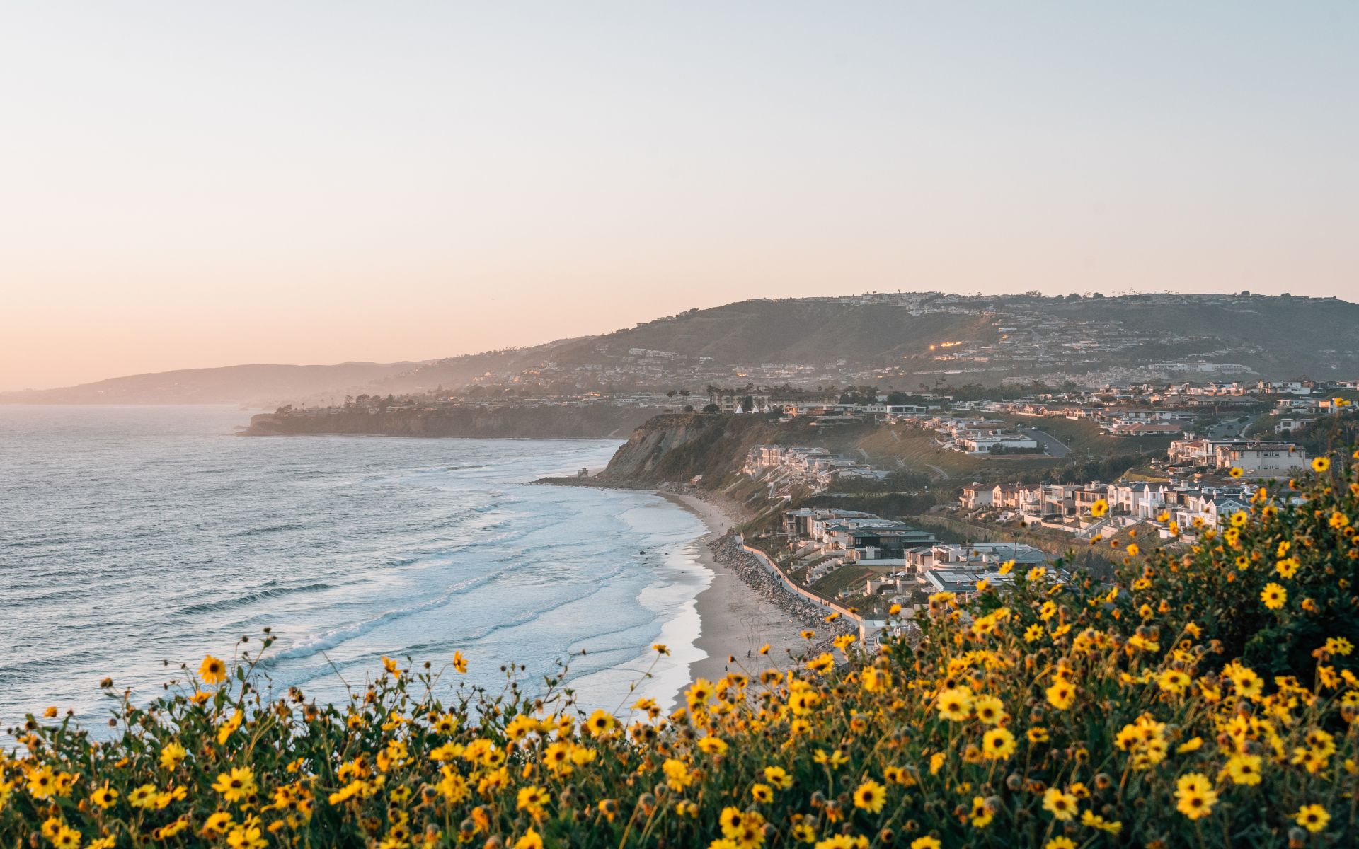
Dana Point Parks & Trails: Headlands, Bluff Top Trail, Salt Creek & Outdoor Recreation
Dana Point parks and trails give residents another way to experience the coast beyond spending the day on the sand. The city combines bluff-top paths, ocean overlooks, grassy neighborhood parks, paved bike routes, protected coastal habitat, playgrounds, dog areas, sports facilities, and trails that connect residential neighborhoods with beaches and the Harbor. That variety matters […]
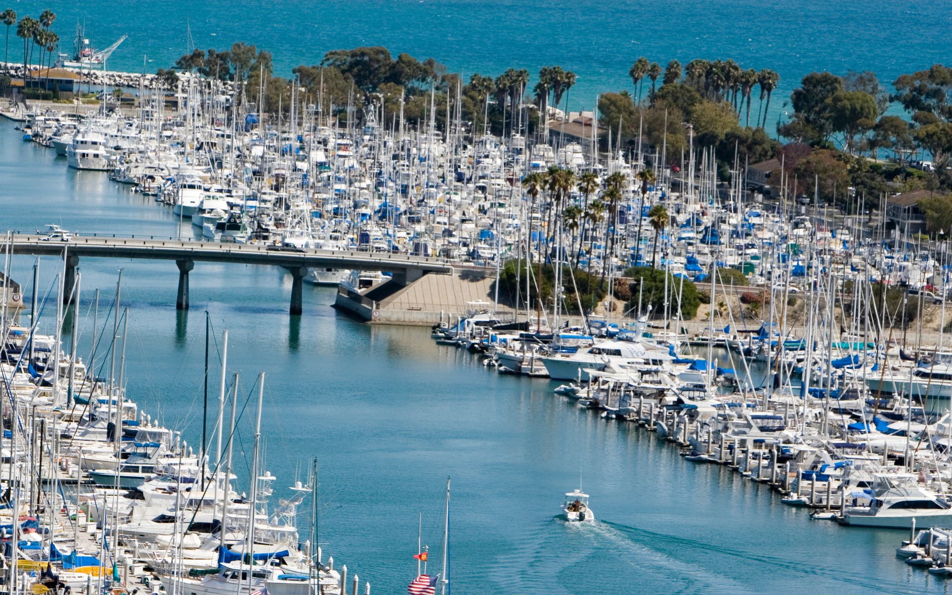
Dana Point Harbor & Lantern District: Dining, Shopping, Boating & Coastal Living
Dana Point Harbor and the nearby Lantern District create one of the most distinctive coastal lifestyles in South Orange County. This is where boating, whale watching, paddleboarding, waterfront dining, local businesses, beaches, community events, and residential neighborhoods come together within a relatively compact part of Dana Point. But the Harbor and Lantern District are not […]
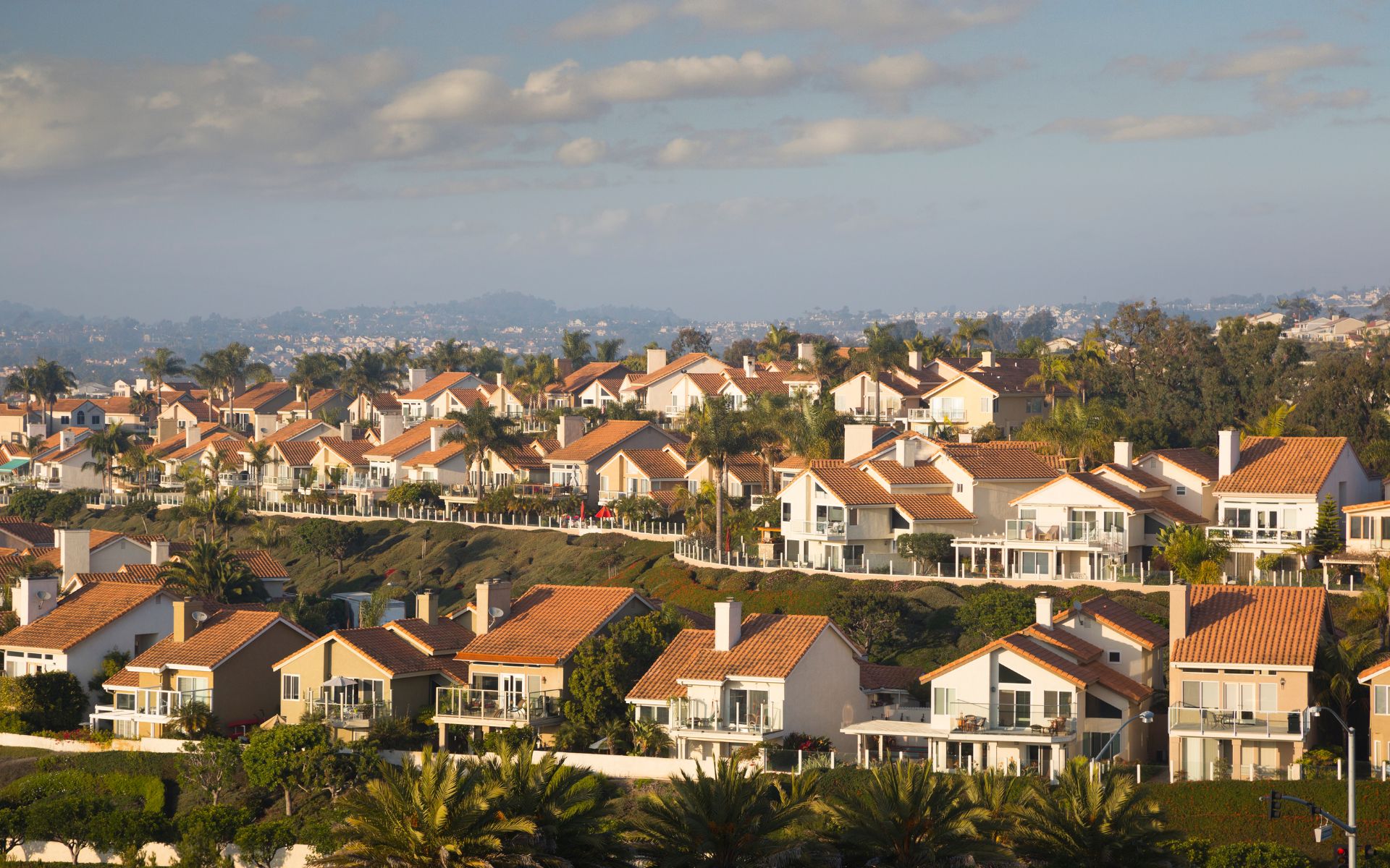
Dana Point Neighborhoods & Homes: Lantern District, Monarch Beach, Capistrano Beach & More
Choosing a home in Dana Point is not simply a question of how close you want to be to the Pacific Ocean. Dana Point neighborhoods can create dramatically different lifestyles depending on whether you choose an older home in Lantern Village, a property near the Lantern District and Harbor, a gated coastal community around Monarch […]
Join Our Mailing List
Are you interested in buying a home? Look no further than working with real estate experts.
Quick Links
Brokerage Info
25950 Acero., #100
Mission Viejo, CA 92691
DRE 01200533


All information is deemed reliable but not guaranteed and should be independently reviewed and verified.
Powered by Sprout Interactive

