
San Clemente Location & Commute: I-5, Metrolink, Irvine & San Diego Access
The San Clemente commute is shaped by something that makes this city different from most of South Orange County: San Clemente sits at the southern edge of Orange County with Interstate 5, two Metrolink stations, coastal bus service, local trolley routes, and direct connections north toward Irvine and south toward Oceanside and San Diego County.
But commute convenience can change considerably depending on where you live.
A home near Avenida Pico, Avenida Vista Hermosa, Camino de los Mares, North Beach, Downtown San Clemente, Talega, Forster Ranch, Rancho San Clemente, Marblehead, or the southern end of the city may create a different daily route to I-5 or the train.
That makes location especially important for buyers who work in Irvine, other parts of Orange County, northern San Diego County, or on a hybrid schedule.
Here is what buyers should know about the San Clemente commute, I-5 access, Metrolink, local roads, public transit, and regional connections.
San Clemente Commute at a Glance
San Clemente sits along the I-5 corridor at the southern end of Orange County, giving drivers a direct north-south route through coastal Southern California.
Heading north, I-5 connects San Clemente with communities and employment centers around San Juan Capistrano, Mission Viejo, Laguna Niguel, Irvine, Tustin, Santa Ana, Anaheim, and greater Orange County.
Heading south, I-5 continues toward San Onofre, Oceanside, Carlsbad, and the broader San Diego County region.
The city is also served by Metrolink’s Orange County Line and Inland Empire–Orange County Line, with stations at San Clemente and San Clemente Pier. The regional system connects San Clemente with San Juan Capistrano, Laguna Niguel/Mission Viejo, Irvine, Tustin, Santa Ana, Orange, Anaheim, Los Angeles, Oceanside, and Inland Empire destinations depending on the line and schedule.
That combination makes San Clemente geographically distinctive.
You are living in Orange County, but the San Diego County line is close enough that southbound travel can be part of the normal regional picture.
I-5 Is the Backbone of the San Clemente Commute
For most drivers, Interstate 5 is the primary regional freeway serving San Clemente.
The City notes that I-5 and the interchange areas connecting local streets to the freeway are operated and maintained by Caltrans.
San Clemente stretches along the freeway rather than sitting at one single interchange.
That means buyers should pay attention to which freeway access point is most practical from the specific home.
Several important local corridors cross or connect with I-5, including:
- Camino de Estrella / Camino de los Mares
- Avenida Vista Hermosa
- Avenida Pico
- central San Clemente streets near El Camino Real
- Southern routes toward Calafia and Cristianitos
City infrastructure documents identify I-5 bridge and interchange areas at several of these locations, including Camino de Estrella/Los Mares, Avenida Vista Hermosa, Avenida Pico, and central San Clemente.
For a buyer, a neighborhood may look close to I-5 on a map but still require several local streets before reaching the freeway.
That difference matters during peak travel periods.
Avenida Pico Is One of San Clemente’s Most Important East-West Corridors
Avenida Pico is one of the most important roads for understanding the San Clemente commute.
It connects the coastal and freeway side of the city with inland neighborhoods and employment areas.
The City identifies the Avenida Pico / I-5 interchange as the primary access point for the West Pico Corridor, while Rancho San Clemente planning documents describe Avenida Pico as a major arterial providing access between inland neighborhoods and I-5.
For buyers in areas such as Rancho San Clemente and parts of Talega, Avenida Pico can become a major part of the daily routine.
The farther east the property sits, the more of the commute may take place on local arterials before reaching I-5.
That does not automatically make those neighborhoods less convenient.
It simply means buyers should test the entire route from the home to the freeway, not just calculate straight-line distance.
Avenida Vista Hermosa Is Important for North and Marblehead San Clemente
Avenida Vista Hermosa is another important east-west route.
The roadway crosses I-5 and provides access between areas near Marblehead, Sea Summit, the Outlets at San Clemente, Vista Hermosa Sports Park, and inland neighborhoods.
The City’s Sea Summit trail directions specifically instruct drivers to exit I-5 at Avenida Vista Hermosa, illustrating its role as a major access point for this part of San Clemente.
For buyers in Marblehead or northern San Clemente, this can provide a different freeway strategy from relying on Avenida Pico.
It also means two homes that appear relatively close geographically may feed into different I-5 access points.
Camino de los Mares and Camino de Estrella Serve Northern San Clemente
At the northern end of the city, Camino de Estrella and Camino de los Mares form another important transportation corridor.
City planning documents describe this route as providing access to residential development within Forster Ranch while linking inland areas with coastal areas west of I-5.
The corridor also connects toward neighboring Dana Point and Capistrano Beach.
For buyers in Forster Ranch, the commute may therefore feel different from a Talega or Rancho San Clemente commute.
Rather than relying primarily on Avenida Pico, some properties may be better positioned for Camino de los Mares and the northern I-5 connection.
How the San Clemente Commute Changes by Neighborhood
One of the biggest mistakes buyers can make is assuming the phrase “San Clemente commute” describes one experience.
It does not.
Talega
Talega sits farther inland in northeastern San Clemente.
For many properties, the route toward I-5 involves local roads leading toward Avenida Pico, Avenida Talega, Avenida Vista Hermosa, or other connecting streets.
The tradeoff is that Talega offers a more planned inland residential environment while placing you farther from the immediate freeway corridor than coastal neighborhoods.
Rancho San Clemente
Rancho San Clemente is served by a road network built around Avenida Pico, Avenida La Pata, Calle Del Cerro, Avenida Vista Montana, and Calle Amanecer.
The City identifies Avenida Pico as a major arterial connecting the area toward I-5.
That makes Avenida Pico particularly important when evaluating a Rancho San Clemente property.
Forster Ranch
Forster Ranch sits in northwestern San Clemente and has stronger access toward Camino de los Mares, Camino de Estrella, and Camino Vera Cruz.
Depending on the home, this may provide a relatively direct route toward northern I-5 access.
Marblehead and Sea Summit
Marblehead neighborhoods can benefit from proximity to Avenida Vista Hermosa, Avenida Pico, and I-5.
The coastal side of Marblehead sits immediately west of I-5, while Marblehead Inland sits to the east.
That difference can affect both beach access and regional driving.
Downtown and Pier Bowl
Downtown residents may be geographically close to I-5, but local streets, hills, pedestrian activity, and parking can influence how quickly a driver reaches the freeway.
The advantage is greater proximity to the city’s walkable core, Pier, rail, and coastal amenities.
Southern San Clemente
Homes toward Calafia, Avenida Del Presidente, and the southern end of the city are physically farther south than most San Clemente neighborhoods.
That can be useful for residents who regularly travel toward Oceanside or northern San Diego County, while northbound Orange County commutes cover more of the I-5 corridor.
The best location therefore depends heavily on which direction you travel most often.
San Clemente Commute to Irvine
Irvine is one of the most important employment destinations for South Orange County residents.
From San Clemente, the basic driving route is straightforward: I-5 north.
But the total commute depends on more than freeway mileage.
Buyers should consider:
- distance from the home to the nearest I-5 access point;
- morning traffic on local streets;
- congestion through South Orange County;
- destination location within Irvine;
- office start and finish times;
- whether the commute is daily or only a few days per week.
Irvine is also directly connected to San Clemente by Metrolink.
Current 2026 schedules show Orange County Line trains serving San Clemente, San Juan Capistrano, Laguna Niguel/Mission Viejo, and Irvine along the same corridor.
For some buyers, that creates the possibility of combining driving and rail rather than relying entirely on I-5.
Can You Take Metrolink From San Clemente to Irvine?
Yes.
The San Clemente station at North Beach is served by the Orange County and Inland Empire–Orange County lines.
The current station is located at 1850 Avenida Estacion and provides commuter parking, bike racks or lockers, dining nearby, OCTA connections, and Amtrak connections.
Current Orange County Line schedules include direct stops between San Clemente and Irvine on applicable trains.
For someone working near the Irvine station or able to connect onward from there, rail may be worth comparing with driving.
But train schedules should always be matched against actual work hours.
A train that technically connects two cities is only useful as a commute option if its departure and arrival times fit the household’s routine.
San Clemente Has Two Metrolink Stations
Another unusual advantage is that San Clemente has two passenger rail stops.
San Clemente Station — North Beach
The main San Clemente station is located at:
1850 Avenida Estacion
It is the more important station for regular weekday service.
Metrolink currently lists both the Orange County Line and Inland Empire–Orange County Line at the station.
San Clemente Pier Station
The Pier station is located at:
615 Avenida Victoria
It sits directly beside the coastline and Pier area.
Metrolink lists the Orange County and Inland Empire–Orange County lines there, while OCTA currently characterizes San Clemente Pier as a weekend station in its rail information.
Current weekend schedules show Pier service toward destinations including Irvine, Orange, Santa Ana, Los Angeles, and Oceanside, depending on the train and line.
For everyday commuting, buyers should therefore distinguish between living near a train station and having a train schedule that actually serves their commute.
Metrolink Can Connect San Clemente North Through Orange County
Current Orange County Line service connects San Clemente northward with stations including:
San Juan Capistrano
Laguna Niguel/Mission Viejo
Irvine
Tustin
Santa Ana
Orange
Anaheim
Fullerton
and Los Angeles Union Station
depending on the specific train.
This can make rail especially relevant for people who work near transit-connected employment areas or who want an alternative to driving for occasional trips.
However, San Clemente is toward the southern end of the Orange County Line.
That means a longer-distance rail commute to northern Orange County or Los Angeles should be evaluated realistically.
What About Commuting South Toward Oceanside and San Diego?
San Clemente’s location also gives residents unusually strong access toward northern San Diego County.
I-5 runs directly south toward Oceanside and the rest of coastal San Diego County.
Metrolink also connects San Clemente with Oceanside, which serves as a major regional transit connection point.
The Metrolink regional map shows connections at Oceanside with COASTER service toward San Diego and SPRINTER service toward Escondido.
That does not necessarily mean a San Clemente-to-San Diego transit commute will be simple for every worker.
Transfers and schedules matter.
But it gives San Clemente a transportation relationship with both Orange County and San Diego County that is unusual within South Orange County.
San Clemente Commute to Los Angeles
San Clemente is connected to Los Angeles through both I-5 and Metrolink.
Current Orange County Line schedules include direct service from San Clemente north toward L.A. Union Station on applicable trains.
For occasional trips, meetings, events, or hybrid workers, this can provide an alternative to driving the full distance.
For a five-day-a-week Los Angeles commute, buyers should evaluate the schedule carefully.
San Clemente remains a significant distance from central Los Angeles, so commute time and frequency should be tested before making housing decisions around that assumption.
Current Rail Service Can Be Affected by Coastal Conditions
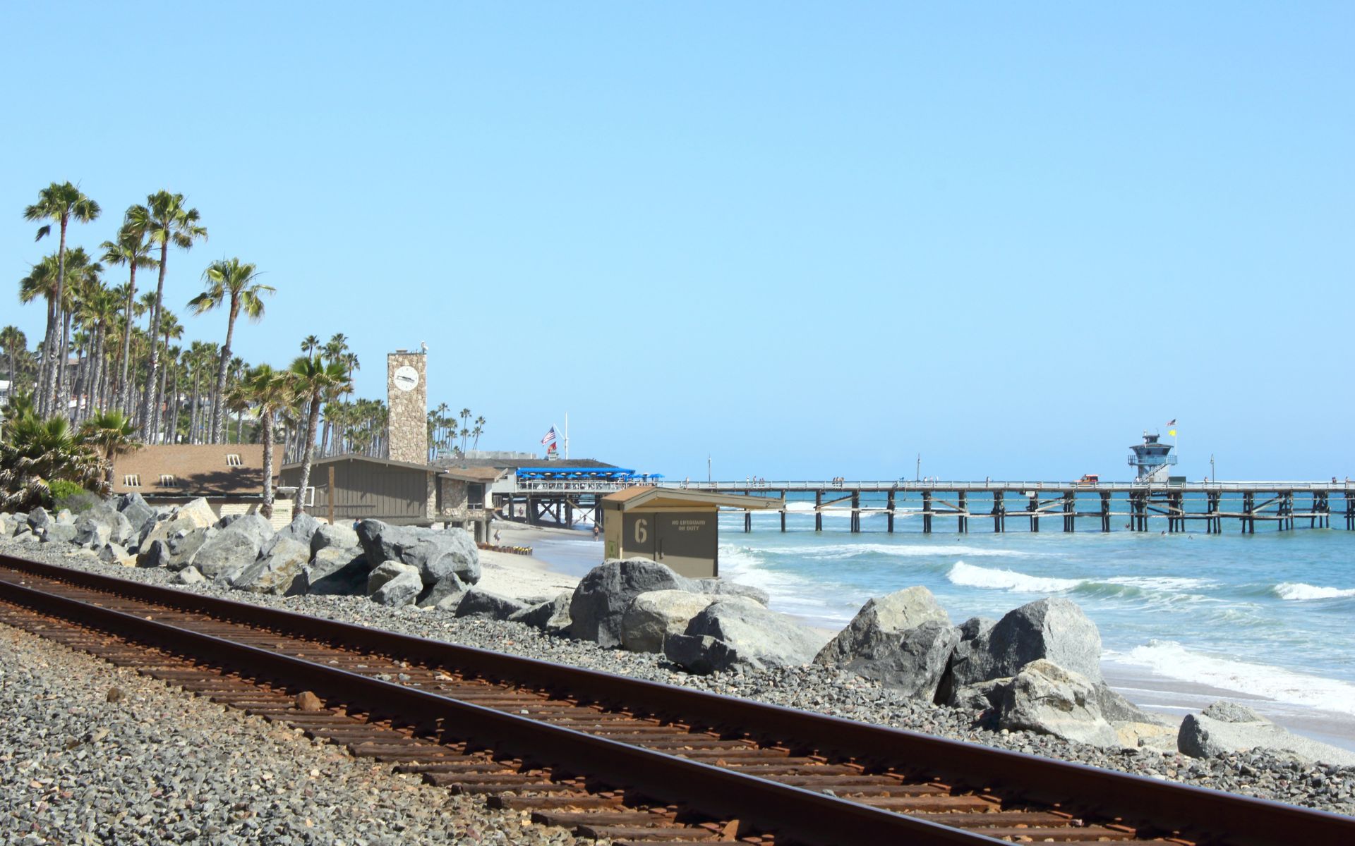
San Clemente’s rail line runs through a uniquely coastal environment.
That creates a transportation benefit, but it also introduces a consideration inland communities do not face to the same degree.
As of October 26 through October 30, 2026, Metrolink suspended Orange County Line service between Laguna Niguel/Mission Viejo and Oceanside because of high tides, with no alternate transportation provided during the interruption.
This temporary disruption should not be treated as the normal schedule.
But it illustrates why buyers who plan to depend heavily on rail should monitor service advisories and have a backup transportation option.
The coastal rail corridor has also undergone ongoing stabilization and maintenance work in San Clemente. The City currently lists additional track maintenance scheduled between Avenida Calafia and Calle Ariana in November 2026.
San Clemente Trolley Adds Local Transportation Options
San Clemente also operates a free trolley system.
For the current 2026 schedule, the Red Line operates Friday through Sunday from September 28 through May 21, while the Red, Blue, and Green lines operate daily during the May 22–September 27 summer season.
Trolleys generally arrive every 15 to 25 minutes.
The City’s 2026 trolley map connects locations including:
- San Clemente Pier
- Avenida Del Mar
- El Camino Real
- North Beach Metrolink station
- Outlets at San Clemente
- Avenida Vista Hermosa
- Calafia State Beach
- Portions of southern San Clemente
- A Dana Point transfer point
For most residents, the trolley is not a substitute for a regional work commute.
But it can reduce the need to drive for certain local trips, particularly around downtown and coastal destinations.
OC Bus Provides Additional Regional Connections
San Clemente is also served by OC Bus.
Current OCTA route information lists Route 1 from Long Beach to San Clemente along the coastal corridor and Route 91 between Laguna Hills and San Clemente.
Route 1 passes through coastal communities including Dana Point before reaching San Clemente, while Route 91 connects San Clemente with San Juan Capistrano, Mission Viejo-area destinations, and Laguna Hills.
These routes can be useful for transit-dependent residents or for connections to other transportation systems, although they generally serve a different purpose from Metrolink commuter rail.
How Important Is El Camino Real?
El Camino Real is one of the most important local north-south streets in San Clemente.
It runs through central and coastal portions of the city and connects numerous neighborhoods, businesses, beaches, downtown destinations, and local roads.
The City’s trolley routes and OCTA bus routes both use portions of El Camino Real, reinforcing its role as a major local movement corridor.
For buyers living west of I-5 or near Downtown San Clemente, El Camino Real may be more relevant to everyday errands than the freeway itself.
That is why commute research should include both regional travel and local circulation.
How Important Is Avenida La Pata?
Avenida La Pata is especially important to inland San Clemente.
Rancho San Clemente planning documents identify La Pata as a major arterial providing access to business areas, recreational facilities, and inland neighborhoods.
For residents in eastern San Clemente, La Pata can provide an important alternative local connection rather than forcing every trip toward the coast and I-5.
This can matter when traveling toward inland South Orange County destinations.
Hybrid Work Changes the San Clemente Location Equation
San Clemente can make particular sense for buyers who no longer commute five days per week.
A longer drive to Irvine or another Orange County employment center may feel very different if it happens twice per week rather than every weekday.
Hybrid workers may place greater value on:
- beach access;
- ocean views;
- trails;
- neighborhood character;
- home-office space;
- downtown amenities;
- rail access;
- or proximity to I-5 for occasional office days.
That can shift the tradeoff between commute efficiency and lifestyle.
A Talega home with more space may make sense for one hybrid worker.
A downtown property near restaurants and the Pier may make sense for another.
A home near North Beach station may appeal to someone who expects to use Metrolink.
Which San Clemente Neighborhood Is Best for Commuters?
There is no single answer.
For someone commuting north toward Irvine, a property with convenient access to I-5 or the North Beach Metrolink station may deserve more weight.
For someone traveling regularly toward Oceanside or San Diego County, southern San Clemente may provide geographic advantages.
For someone working remotely most of the week, commute convenience may matter less than neighborhood amenities.
For someone who wants rail access, North Beach may carry more value.
For someone prioritizing newer planned-community living, Talega may justify more local driving before reaching I-5.
The best neighborhood depends on where you actually need to go.
Test the San Clemente Commute Before Buying
One of the most useful things a buyer can do is personally test the commute from a prospective property.
Do not test it only at noon.
If you expect to leave at 7:30 a.m., make the drive at 7:30 a.m.
If you expect to return at 5:30 p.m., test the return route during that period.
Try both the local streets and the freeway.
If Metrolink matters, travel to the station, park the car, walk to the platform, and confirm the schedule you would realistically use.
If you expect to walk or bike to the train, test that route too.
A commute that looks reasonable on a map can feel very different once elevation, traffic lights, parking, transfers, and actual peak traffic are involved.
What Buyers Should Check About the San Clemente Commute
Before choosing a home, compare:
- nearest practical I-5 access point;
- Avenida Pico, Avenida Vista Hermosa, Camino de los Mares, or other local arterial access;
- northbound versus southbound work destination;
- typical departure and return times;
- Metrolink schedule compatibility;
- distance to the North Beach station;
- parking availability at the station;
- local trolley and bus routes;
- school and beach traffic near the home;
- summer and weekend visitor patterns;
- hybrid-work frequency;
- alternative routes when I-5 is congested;
- backup transportation if coastal rail service is interrupted.
These factors can matter more than simply saying a home is “close to the freeway.”
San Clemente Location vs. Other South Orange County Communities
San Clemente’s biggest transportation distinction is its position.
Compared with inland communities such as Rancho Santa Margarita or Ladera Ranch, San Clemente has direct I-5 access and passenger rail within the city.
Compared with communities farther north, San Clemente sits closer to Oceanside and northern San Diego County.
Compared with many coastal cities, San Clemente combines freeway access, rail, beaches, downtown, and inland residential neighborhoods within one city.
The tradeoff is that residents commuting north through Orange County begin farther south.
Whether that is an advantage or disadvantage depends entirely on the household’s work locations and lifestyle priorities.
San Clemente Commute FAQ
Is San Clemente close to Irvine?
San Clemente is south of Irvine along I-5. Driving conditions vary significantly by traffic and the exact origin and destination. Metrolink also provides rail service between San Clemente and Irvine on applicable Orange County Line trains.
Does San Clemente have a Metrolink station?
Yes. San Clemente has two: the San Clemente station at 1850 Avenida Estacion near North Beach and the San Clemente Pier station at 615 Avenida Victoria.
Does Metrolink go from San Clemente to Irvine?
Yes. Current Orange County Line schedules include direct service between San Clemente and Irvine on applicable trains.
Does Metrolink go from San Clemente to Los Angeles?
Yes. Applicable Orange County Line trains connect San Clemente with L.A. Union Station through Orange County. Service frequency varies by schedule.
Does Metrolink go south from San Clemente?
Yes. Metrolink serves Oceanside from San Clemente on applicable trains. Oceanside provides connections to additional San Diego County transit systems.
Is San Clemente Pier station open every day?
Current OCTA information lists San Clemente Pier as a weekend-only station, while the main San Clemente station near North Beach provides regular service. Buyers relying on rail should always check the current timetable.
Is there parking at the San Clemente Metrolink station?
Yes. Metrolink currently lists 142 general spaces and 13 accessible spaces at the San Clemente station, with special commuter parking rates available during qualifying morning hours.
Does San Clemente have public buses?
Yes. OCTA currently operates routes including Route 1 between Long Beach and San Clemente and Route 91 between Laguna Hills and San Clemente.
Is the San Clemente trolley free?
Yes. The City currently operates the San Clemente Trolley free of charge, with year-round weekend Red Line service and expanded daily summer service.
Which San Clemente neighborhood has the easiest freeway access?
There is no single best answer. Marblehead and northern areas may use Avenida Vista Hermosa, Rancho San Clemente and portions of Talega often rely heavily on Avenida Pico, while Forster Ranch can use Camino de los Mares/Camino de Estrella. Buyers should test the route from the actual property.
Is San Clemente good for commuting to San Diego?
San Clemente is located at the southern end of Orange County directly along I-5, making southbound access toward Oceanside and San Diego County more direct than from communities farther north. Whether the commute is practical depends on the exact San Diego destination, work hours, traffic, and frequency.
Can coastal conditions affect trains in San Clemente?
Yes. The rail corridor runs immediately beside portions of the San Clemente coastline, and service can be affected by high tides, erosion, stabilization work, or maintenance. Metrolink suspended service south of Laguna Niguel/Mission Viejo from October 26–30, 2026 because of high tides.
Thinking About Buying or Selling a Home in San Clemente?
The biggest advantage of the San Clemente commute is not that every destination is close.
It is that residents have several ways to connect with the region.
There is I-5 for north-south driving, Avenida Pico and Avenida Vista Hermosa for major local connections, Metrolink for regional rail, OC Bus for additional transit, and the San Clemente Trolley for local coastal and downtown trips.
But the experience changes considerably from one neighborhood to another.
A Talega commute is different from a North Beach commute.
Forster Ranch is different from the Pier Bowl.
Southern San Clemente can make more sense for someone traveling toward San Diego County, while access to Avenida Pico or Vista Hermosa may matter more to someone headed north.
Explore More About Living in San Clemente
Start with:
5 Reasons You’ll Love Living in San Clemente and 3 Reasons It Might Not Be for You
You can also explore:
San Clemente Beaches & Surfing: Pier, T-Street, North Beach & More
San Clemente Neighborhoods & Homes: What Buyers Should Know
Downtown San Clemente & Avenida Del Mar: Shopping, Dining & Coastal Living
San Clemente Parks & Trails: Beach Trail, Ridgelines & Outdoor Recreation
Recent Updates
San Clemente Parks & Trails: Beach Trail, Ridgelines & Outdoor Recreation
San Clemente parks and trails are a major part of the city’s outdoor lifestyle, extending from the Pacific coastline to inland ridgelines, canyons, neighborhood parks, and open space. When people think about outdoor recreation in San Clemente, the beach usually comes first. But San Clemente parks and trails extend well beyond the shoreline. The city […]
Downtown San Clemente & Avenida Del Mar: Shopping, Dining & Coastal Living
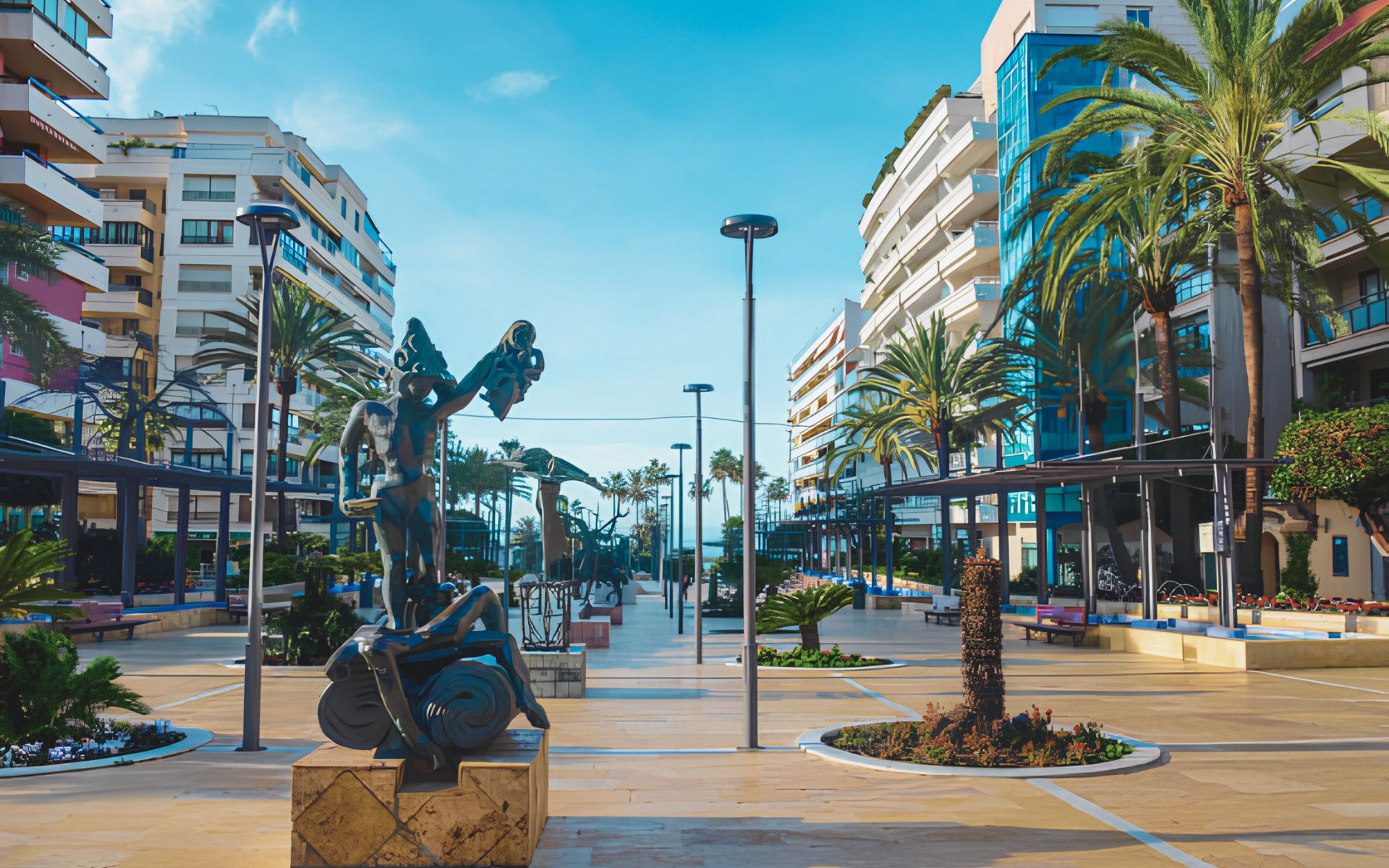
For buyers who want more than a traditional suburban neighborhood, Downtown San Clemente and Avenida Del Mar offer one of the most distinctive lifestyles in South Orange County. This is where San Clemente’s historic downtown, local shopping, restaurants, cafés, community events, Spanish-inspired architecture, the Pier Bowl, and the Pacific Ocean begin to connect. Avenida Del […]
San Clemente Neighborhoods & Homes: What Buyers Should Know
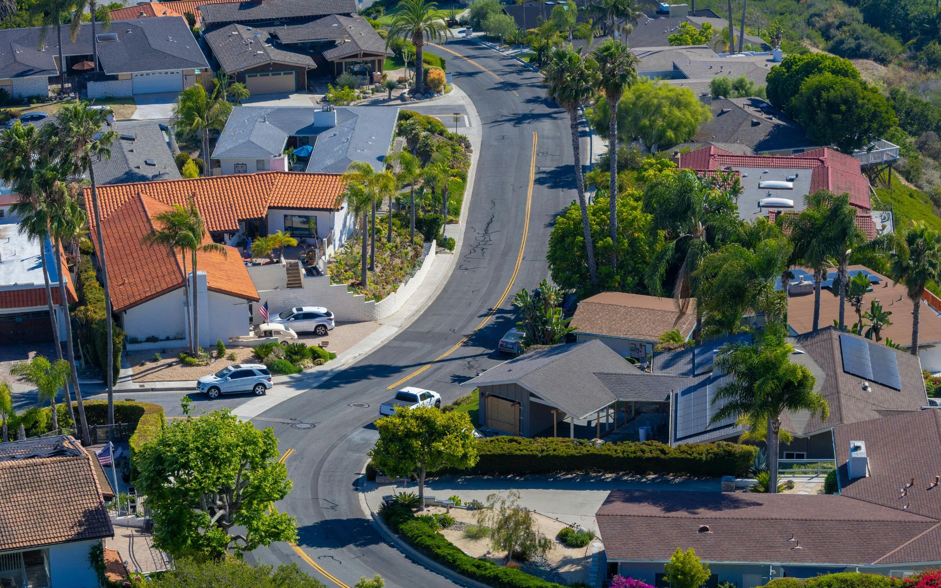
Choosing a home in San Clemente is not simply a question of how close you want to be to the Pacific Ocean. The San Clemente neighborhoods and homes available across the city can create dramatically different lifestyles depending on whether you choose a coastal property near the Pier, a hillside home in Rancho San Clemente, […]
Join Our Mailing List
Are you interested in buying a home? Look no further than working with real estate experts.
Quick Links
Brokerage Info
25950 Acero., #100
Mission Viejo, CA 92691
DRE 01200533


All information is deemed reliable but not guaranteed and should be independently reviewed and verified.
Powered by Sprout Interactive

